
File:Lambton Everest C India.jpg

Size of this preview: 220 × 226 pixels. Other resolutions: 233 × 240 pixels | 1,665 × 1,712 pixels.
Original file (1,665 × 1,712 pixels, file size: 1.55 MB, MIME type: image/jpeg)
Summary
| DescriptionLambton Everest C India.jpg |
Lambton and Everest triangulations in central India |
|||||||||
| Date | pre-1830 | |||||||||
| Source | Historical Records of the Survey of India. Volume III. 1815-1830 | |||||||||
| Creator |
Government of India; |
|||||||||
| Permission (Reusing this file) |
|
|||||||||
| Geotemporal data | ||||||||||
| Bounding box |
|
|||||||||
| Georeferencing | ||||||||||


Captions
Add a one-line explanation of what this file represents
File history
Click on a date/time to view the file as it appeared at that time.
| Date/Time | Thumbnail | Dimensions | User | Comment | |
|---|---|---|---|---|---|
| current | 10:01, 9 May 2020 | 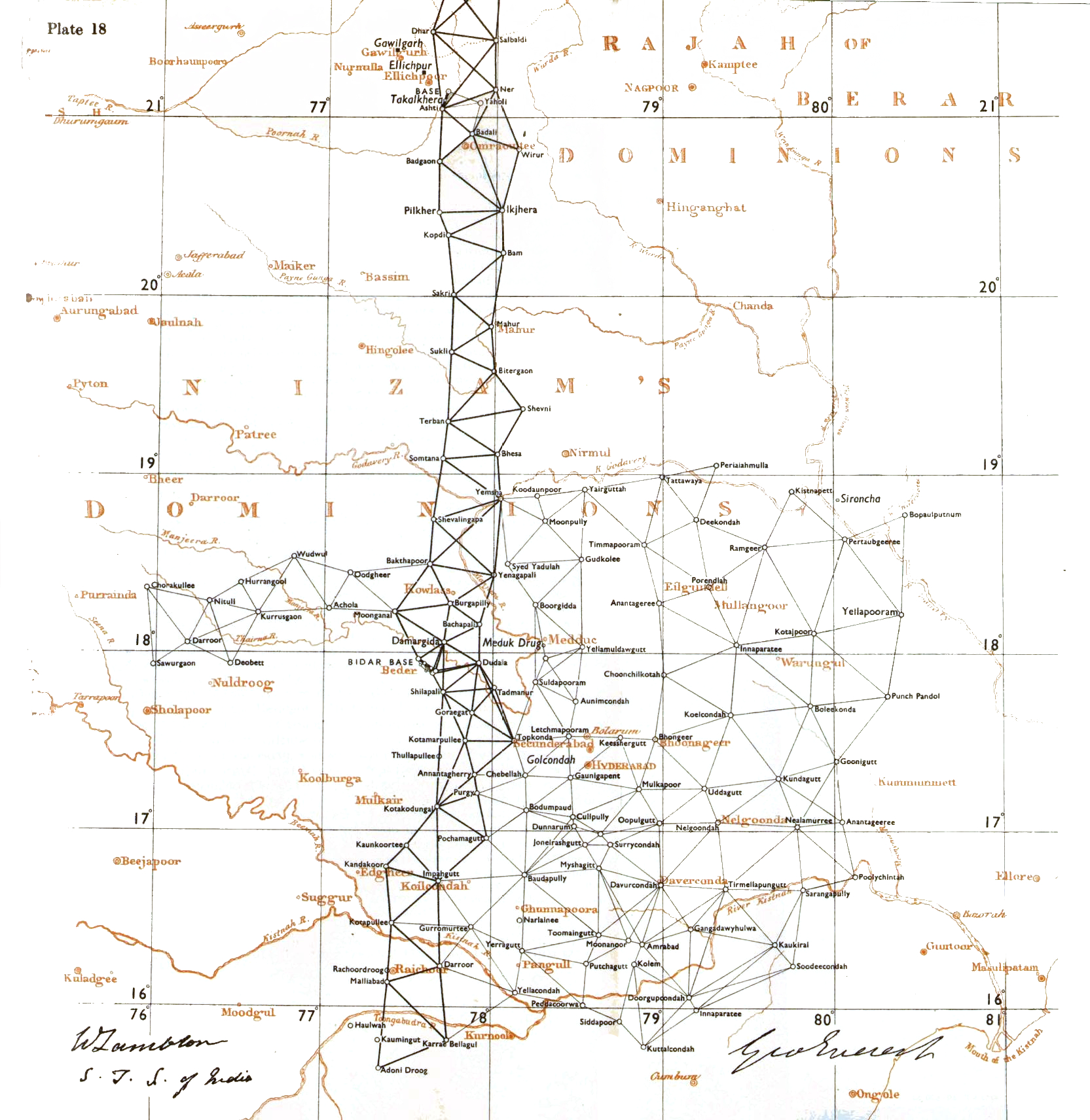 | 1,665 × 1,712 (1.55 MB) | smartcommons>Shyamal | {{Information |Description=Lambton and Everest triangulations in central India |Source=Historical Records of the Survey of India. Volume III. 1815-1830 |Date=pre-1830 |Author=Government of India; |Permission={{pd-old-100}} |other_versions= }} Category:Maps of India |
File usage
There are no pages that use this file.
