


File:Kaveri river flowing near Biligundlu JEG3801.JPG

Size of this preview: 220 × 146 pixels. Other resolutions: 320 × 212 pixels | 4,928 × 3,264 pixels.
Original file (4,928 × 3,264 pixels, file size: 10.02 MB, MIME type: image/jpeg)

Summary
| DescriptionKaveri river flowing near Biligundlu JEG3801.JPG | Kaveri river flowing_near Biligundlu. Note a wire (iron line) across the river. Center Water Commission Boat sail along this line to measure water. Just in case if you cant see this wire move the cursor around the image to see the infobox. |
| Date | |
| Source | Own work |
| Author | P Jeganathan |
| Camera location |  | View this and other nearby images on: OpenStreetMap |  12.182030; 77.730270 12.182030; 77.730270 |
|---|

Licensing
I, the copyright holder of this work, hereby publish it under the following license:


This file is licensed under the Creative Commons Attribution-Share Alike 3.0 Unported, 2.5 Generic, 2.0 Generic and 1.0 Generic license.
- You are free:
- to share – to copy, distribute and transmit the work
- to remix – to adapt the work
- Under the following conditions:
- attribution – You must give appropriate credit, provide a link to the license, and indicate if changes were made. You may do so in any reasonable manner, but not in any way that suggests the licensor endorses you or your use.
- share alike – If you remix, transform, or build upon the material, you must distribute your contributions under the same or compatible license as the original.
| Annotations InfoField | This image is annotated: View the annotations at Commons |

1971
2322
1035
105
4928
3264
Wire (iron line) across the river. Center Water Commission Boat sail along this line to measure water.
Captions
Add a one-line explanation of what this file represents
File history
Click on a date/time to view the file as it appeared at that time.
| Date/Time | Thumbnail | Dimensions | User | Comment | |
|---|---|---|---|---|---|
| current | 20:24, 12 February 2018 | 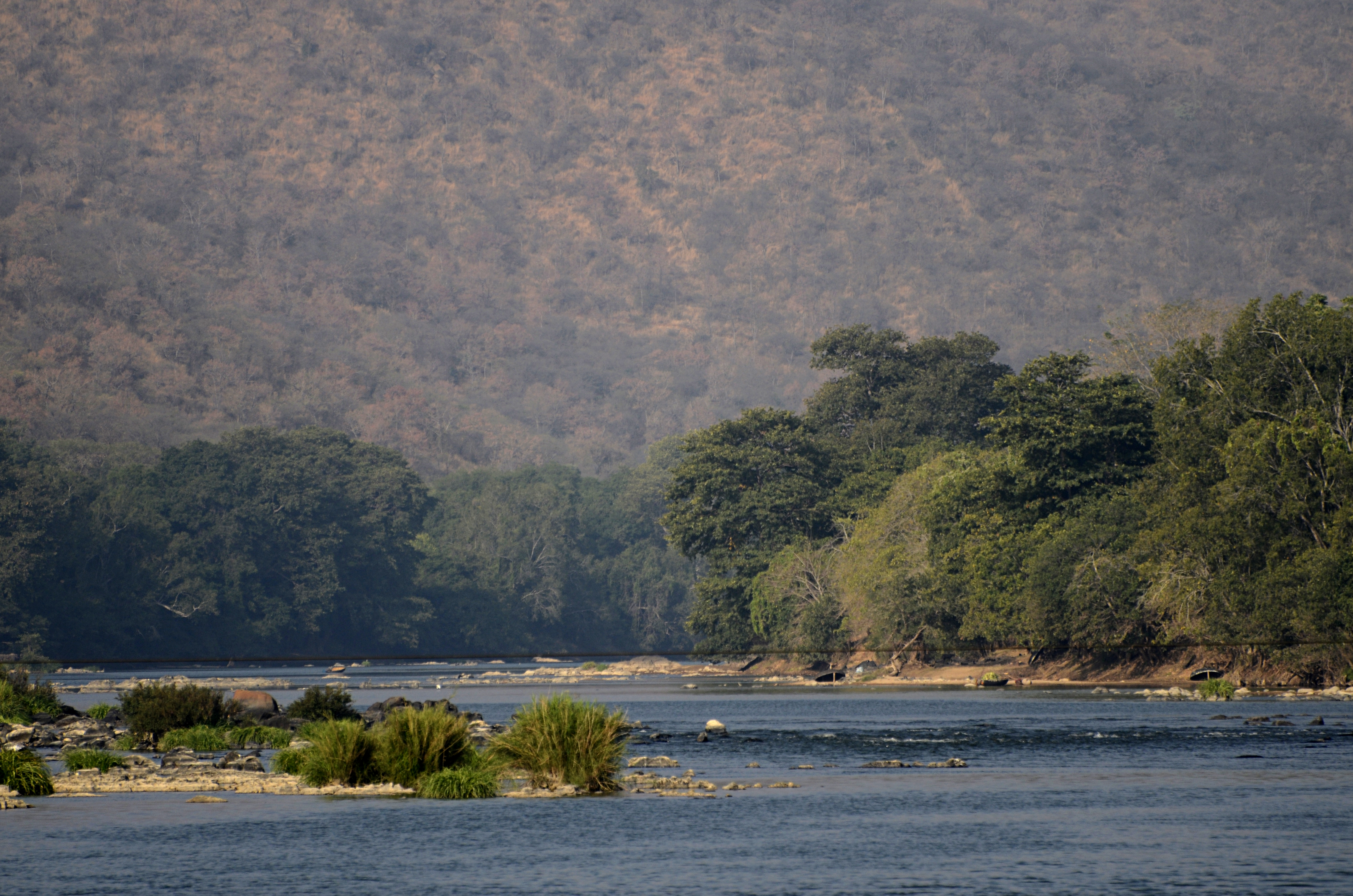 | 4,928 × 3,264 (10.02 MB) | smartcommons>PJeganathan | Reverted to version as of 12:05, 12 February 2018 (UTC) |
File usage
There are no pages that use this file.
