.svg)
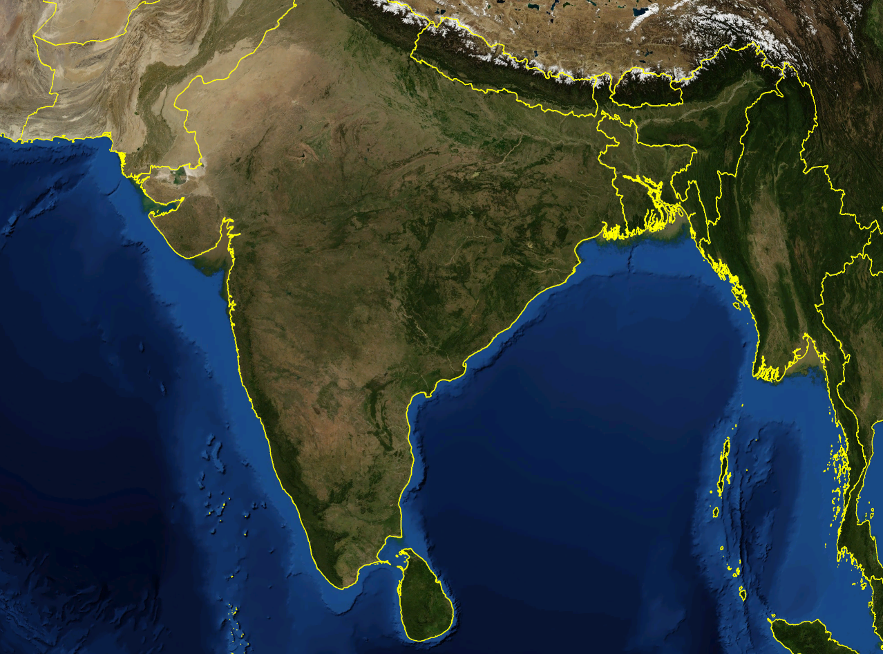
File:India satellite image.png
Size of this preview: 220 × 163 pixels. Other resolutions: 320 × 237 pixels | 500 × 370 pixels | 1,278 × 946 pixels.
Original file (1,278 × 946 pixels, file size: 1.51 MB, MIME type: image/png)
| Description | Satellite image of India and surrounding regions | |||
| Date | ||||
| Source | Own work | |||
| Author | Mgiganteus | |||
| Permission (Reusing this file) |
|

| Annotations | This image is annotated: View the annotations at Commons |
File history
Click on a date/time to view the file as it appeared at that time.
| Date/Time | Thumbnail | Dimensions | User | Comment | |
|---|---|---|---|---|---|
| current | 19:51, 28 November 2007 | | 1,278 × 946 (1.51 MB) | wikimediacommons>Mgiganteus | {{Information |Description=Satellite image of India and surrounding regions |Source=self-made |Date=2007 |Author= Mgiganteus |Permission={{PD-WorldWind}} |other_versions= }} Category:Maps of India Category:South Asia [[Categor |
File usage
There are no pages that use this file.