.svg)
File:Gz-map2.png
Size of this preview: 220 × 236 pixels. Other resolutions: 224 × 240 pixels | 328 × 352 pixels.
Original file (328 × 352 pixels, file size: 8 KB, MIME type: image/png)
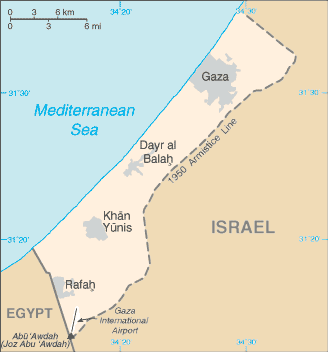
| Description | A map of the Gaza Strip | |||
| Date |
Taken from CIA World Factbook website on 28 August 2006. Please note that this is not the original CIA map; it has been edited to remove the text Israeli-occupied with current status subject to the Israeli-Palestinian Interim Agreement - permanent status to be determined through further negotiation (compare e.g. [1]). |
|||
| Source | CIA World Factbook | |||
| Author | CIA | |||
| Permission (Reusing this file) |
Public domain, as is all content from the CIA factbook
|

File history
Click on a date/time to view the file as it appeared at that time.
| Date/Time | Thumbnail | Dimensions | User | Comment | |
|---|---|---|---|---|---|
| current | 18:46, 20 May 2021 | | 328 × 352 (8 KB) | wikimediacommons>Jul059 | Lossless file size reduction |
File usage
The following page uses this file: