.svg)
File:Europe blank map.png
Size of this preview: 220 × 201 pixels. Other resolutions: 262 × 240 pixels | 410 × 375 pixels | 1,360 × 1,245 pixels.
Original file (1,360 × 1,245 pixels, file size: 48 KB, MIME type: image/png)
Summary
| Description |
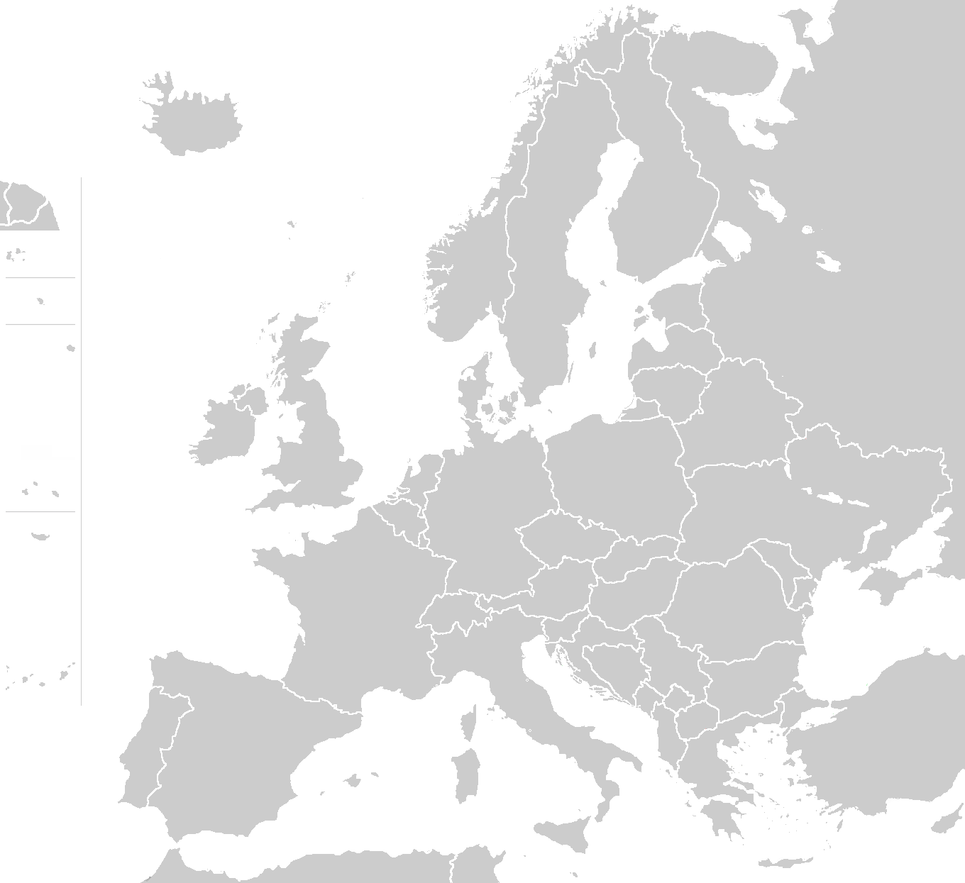
English: Blank political map of Europe - use to show countries' locations, EU members, etc. |
| Date | (UTC) |
| Source | the map is using the maps' boundaries as provided by one of the thousands files in the ClarisImpact libraries, otherwise competely redrawn, including "wiki" colors |
| Author | wiki-vr |
| Other versions |
Derivative works of this file: |
Licensing
| This work has been released into the public domain by its author, Wiki-vr. This applies worldwide. In some countries this may not be legally possible; if so: |
File history
Click on a date/time to view the file as it appeared at that time.
| Date/Time | Thumbnail | Dimensions | User | Comment | |
|---|---|---|---|---|---|
| current | 00:54, 27 January 2014 | | 1,360 × 1,245 (48 KB) | wikimediacommons>Spesh531 | removed green from french guiana |
File usage
There are no pages that use this file.