File:Eritrea India Locator (cropped).png
Size of this preview: 220 × 165 pixels. Other resolutions: 320 × 240 pixels | 500 × 375 pixels | 614 × 461 pixels.
Original file (614 × 461 pixels, file size: 27 KB, MIME type: image/png)
Summary
| Description |
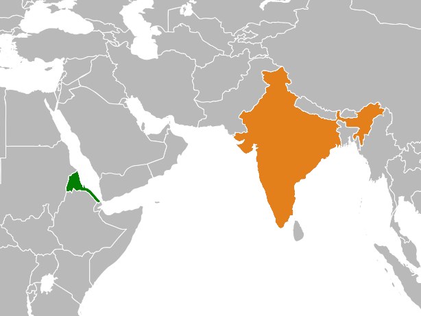
English: Map highlighting relative positions of Eritrea and India. |
| Date | |
| Source | Own work |
| Author | PlanespotterA320 |
| Other versions |

.png)
Licensing
I, the copyright holder of this work, hereby publish it under the following license:
| This file is made available under the Creative Commons CC0 1.0 Universal Public Domain Dedication. | |
| The person who associated a work with this deed has dedicated the work to the public domain by waiving all of their rights to the work worldwide under copyright law, including all related and neighboring rights, to the extent allowed by law. You can copy, modify, distribute and perform the work, even for commercial purposes, all without asking permission.
|
File history
Click on a date/time to view the file as it appeared at that time.
| Date/Time | Thumbnail | Dimensions | User | Comment | |
|---|---|---|---|---|---|
| current | 23:39, 19 April 2018 | | 614 × 461 (27 KB) | wikimediacommons>PlanespotterA320 | File:Eritrea India Locator.png cropped 78 % horizontally, 67 % vertically using CropTool with precise mode. |
File usage
The following page uses this file:
.png)