


File:Embassy of Belarus.jpg

Size of this preview: 220 × 281 pixels. Other resolutions: 188 × 240 pixels | 1,593 × 2,036 pixels.
Original file (1,593 × 2,036 pixels, file size: 1.05 MB, MIME type: image/jpeg)

Summary
| DescriptionEmbassy of Belarus.jpg |
English: The Embassy of Belarus located at 1619 New Hampshire Avenue NW in the Dupont Circle neighborhood of Washington, D.C. The Beaux-Arts style embassy, built in 1898 as a private residence and designed by Thomas Franklin Schneider, is designated a contributing property to the Dupont Circle Historic District, listed on the National Register of Historic Places in 1978.
Past occupants include insurance executive David S. Hendrick (who died in the home and whose funeral was held there), Rear Admiral Edward Hickman Gheen, Captain Clarence Crittenden Calhoun, the Woman's Universal Alliance, businessman John G. Jaeger, the Arctic Institue of North America, the Society of Woman Geographers, and Bring a Parent, Inc. |
| Date | |
| Source | Own work |
| Author | AgnosticPreachersKid |
| Permission (Reusing this file) |
I, the copyright holder of this work, hereby publish it under the following license:    This file is licensed under the Creative Commons Attribution-Share Alike 4.0 International license.
|
| OpenStreetMap InfoField | Way 67080016 |
| Object location |  | View this and other nearby images on: OpenStreetMap |  38.912130; -77.040715 38.912130; -77.040715 |
|---|

| Camera location | | View this and other nearby images on: OpenStreetMap | 38.912105; -77.040650 |
|---|

Captions
Add a one-line explanation of what this file represents
File history
Click on a date/time to view the file as it appeared at that time.
| Date/Time | Thumbnail | Dimensions | User | Comment | |
|---|---|---|---|---|---|
| current | 01:16, 19 October 2014 | 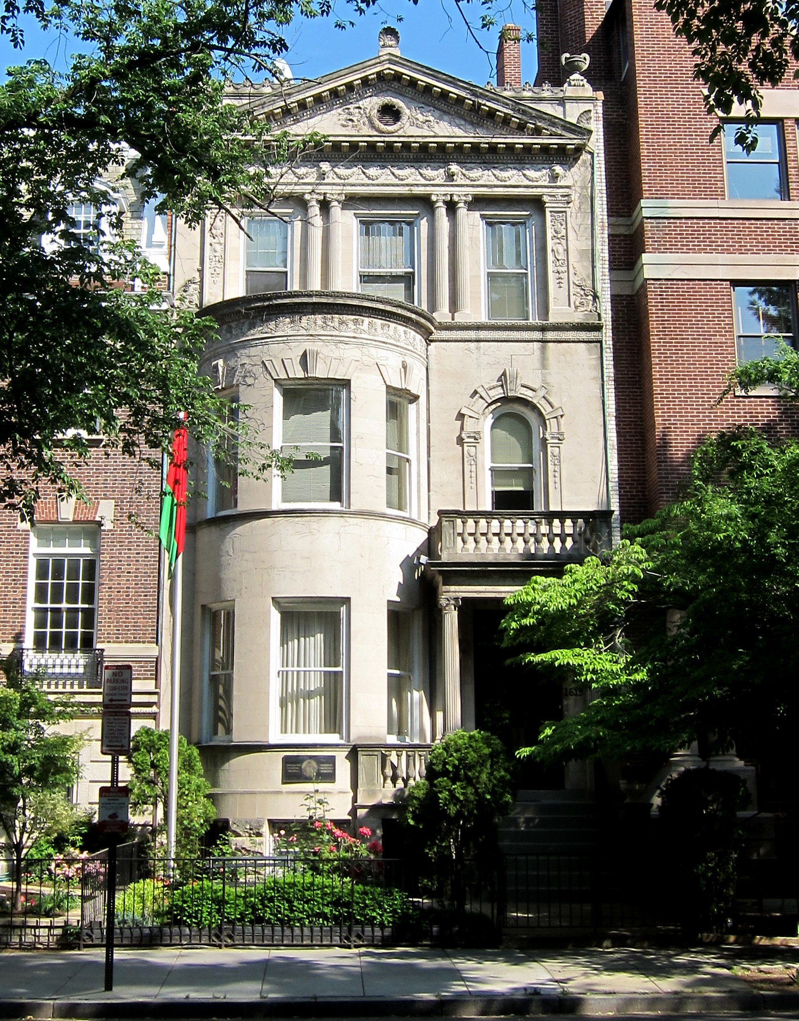 | 1,593 × 2,036 (1.05 MB) | smartcommons>APK | User created page with UploadWizard |
File usage
There are no pages that use this file.
