.svg)
File:East Jaintia Hills in Meghalaya (India).svg

Size of this PNG preview of this SVG file: 220 × 95 pixels. Other resolutions: 320 × 138 pixels | 500 × 216 pixels | 1,152 × 497 pixels.
Original file (SVG file, nominally 1,152 × 497 pixels, file size: 493 KB)
.svg)
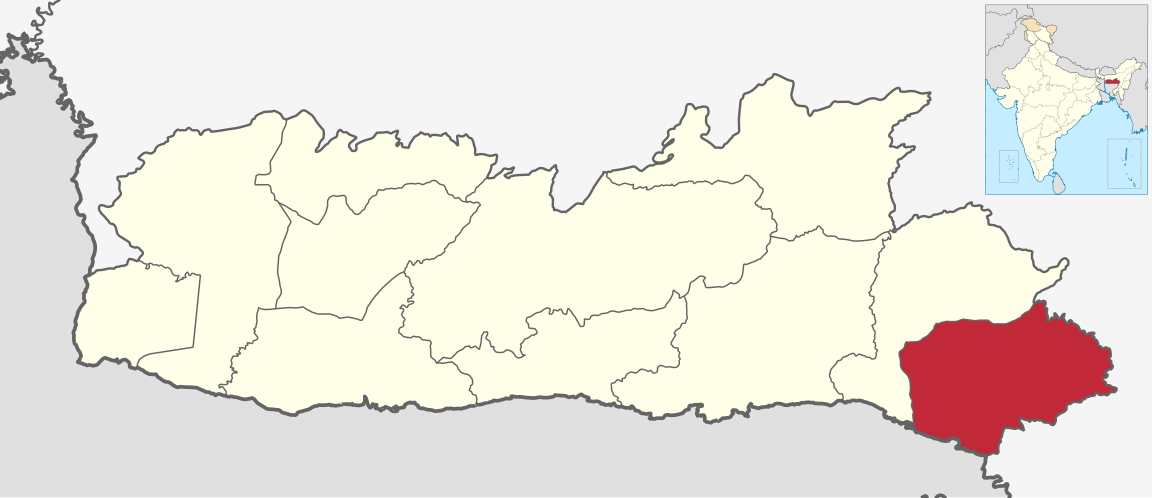
| Description | Map of East Jaintia Hills district of Meghalaya |
| Date | 9 March 2021 |
| Source | Derivative of File:India Meghalaya location map.svg |
| Author | Own work based on User:Milenioscuro |
| Permission (Reusing this file) |
This file is licensed under the Creative Commons Attribution-Share Alike 3.0 Unported license.
|
File history
Click on a date/time to view the file as it appeared at that time.
| Date/Time | Thumbnail | Dimensions | User | Comment | |
|---|---|---|---|---|---|
| current | 11:20, 18 January 2022 | | 1,152 × 497 (493 KB) | wikimediacommons>C1MM | updated bounds |
File usage
The following page uses this file:
.svg)