
File:China Tibet.svg

Size of this PNG preview of this SVG file: 220 × 187 pixels. Other resolution: 282 × 240 pixels.
Original file (SVG file, nominally 1,000 × 850 pixels, file size: 135 KB)
| DescriptionChina Tibet.svg |
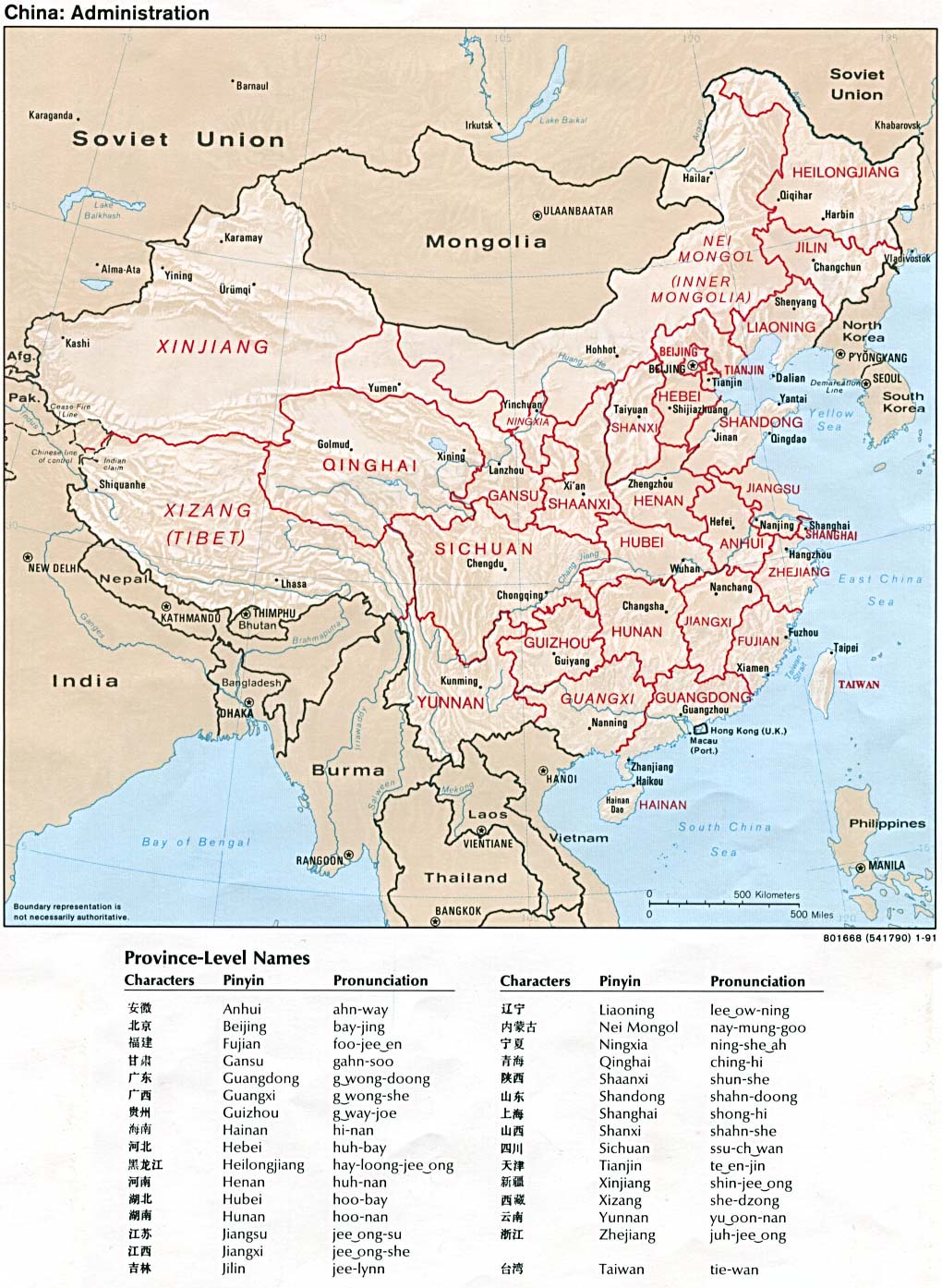
An SVG map of China with the Tibet autonomous region highlighted Legend: |
|||
| Date | ||||
| Source |
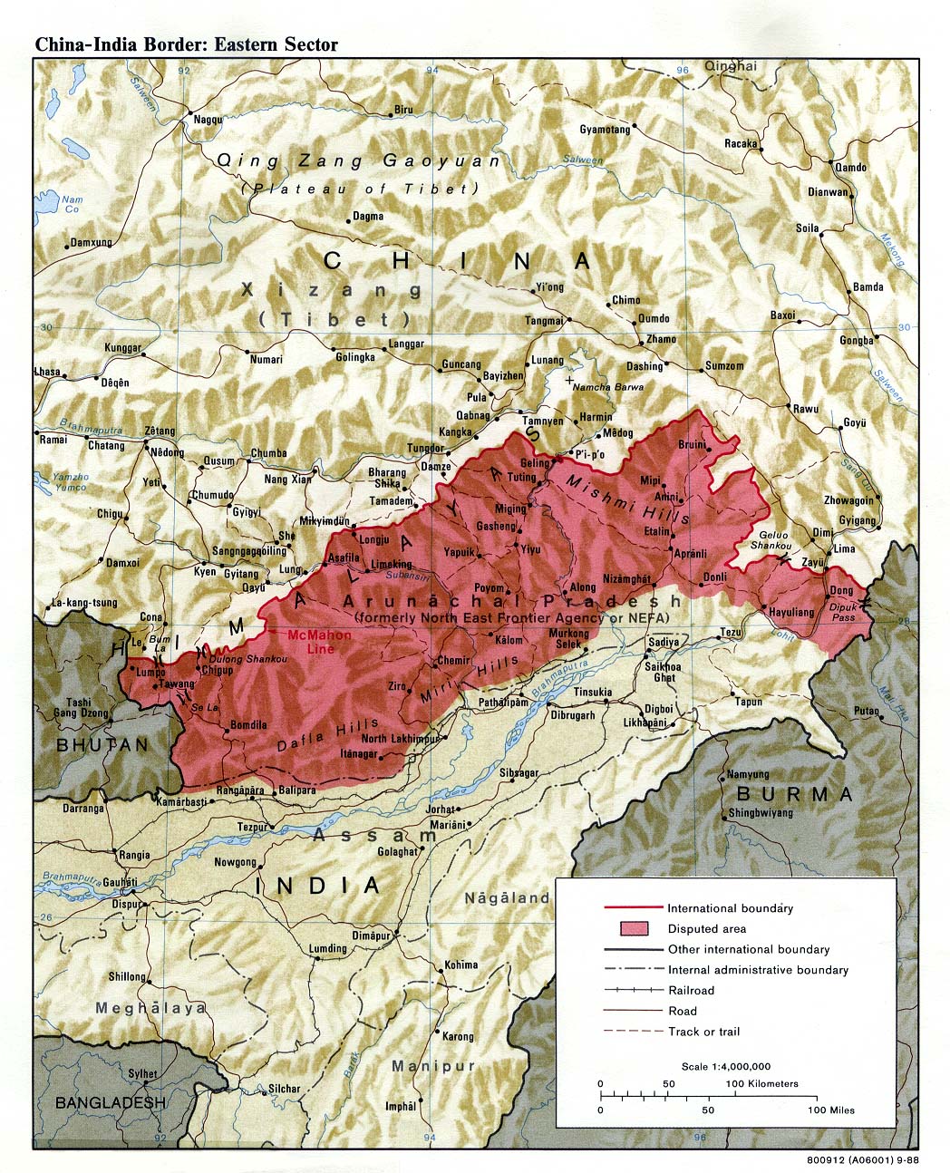
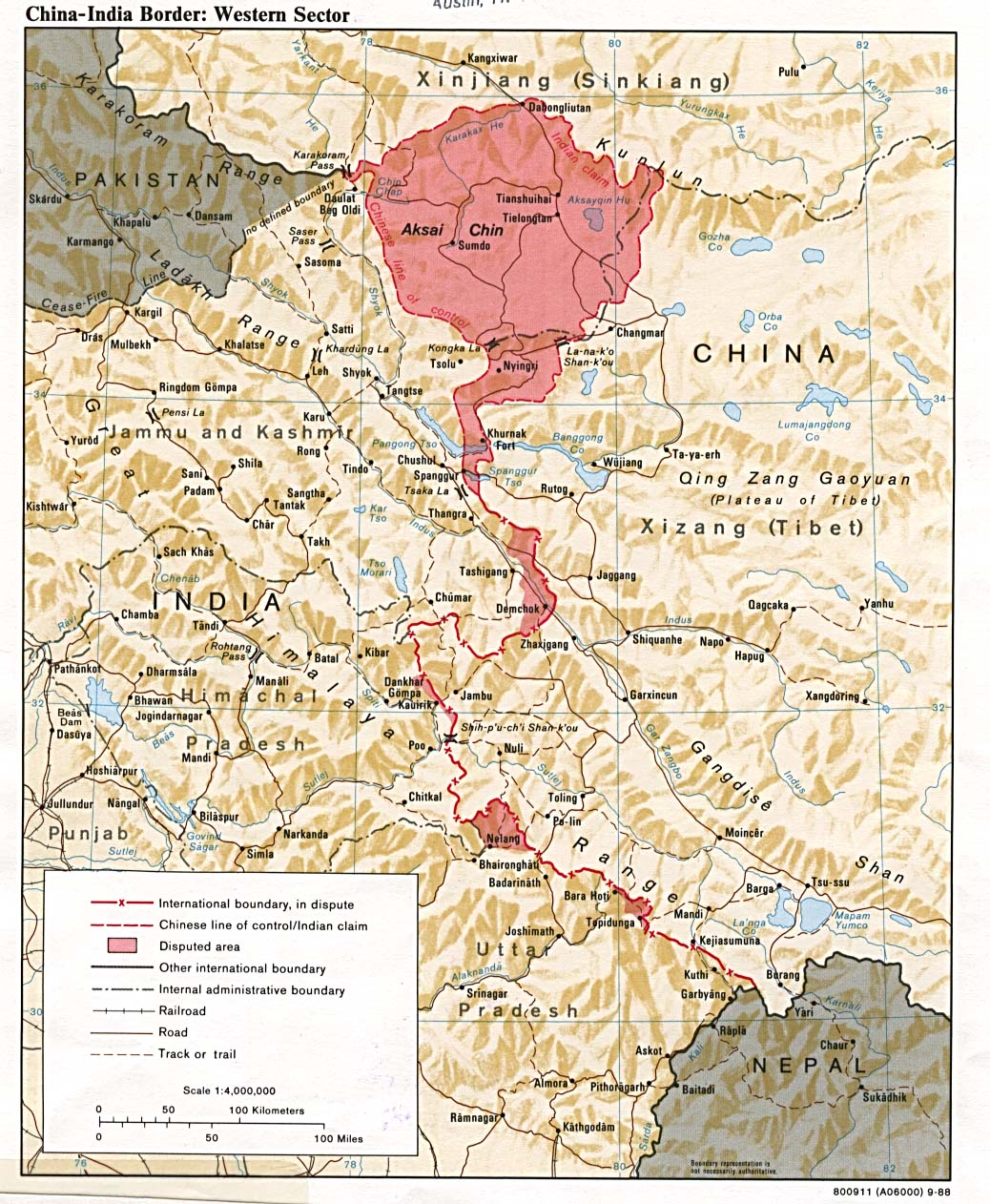
self-made; based on CIA public domain maps: |
|||
| Author | Joowwww | |||
| Permission (Reusing this file) |
|
|||
| Other versions |
 |



Captions
Add a one-line explanation of what this file represents
خريطة التقسيمات الإدارية في الصين، توضح إقليم التبت باللون الأحمر.
File history
Click on a date/time to view the file as it appeared at that time.
| Date/Time | Thumbnail | Dimensions | User | Comment | |
|---|---|---|---|---|---|
| current | 19:31, 30 March 2019 |  | 1,000 × 850 (135 KB) | smartcommons>Newfraferz87 | Need to move the shape to an upper layer … I rest my case :( |
File usage
There are no pages that use this file.
