.svg)
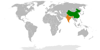
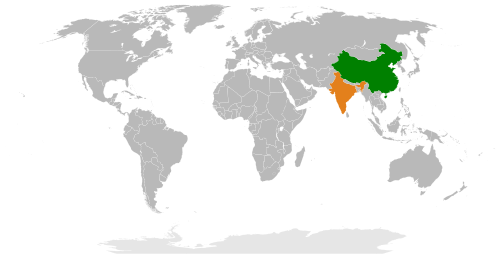
File:China India Locator (1959).svg

Size of this PNG preview of this SVG file: 220 × 112 pixels. Other resolutions: 320 × 162 pixels | 500 × 254 pixels | 940 × 477 pixels.
Original file (SVG file, nominally 940 × 477 pixels, file size: 787 KB)
.svg)
Summary
| Description |
English: This is a locator map for China and India in 1959. |
| Date | |
| Source | Own work |
| Author | JCRules |
Licensing
I, the copyright holder of this work, hereby publish it under the following license:
This file is licensed under the Creative Commons Attribution-Share Alike 3.0 Unported license.
- You are free:
- to share – to copy, distribute and transmit the work
- to remix – to adapt the work
- Under the following conditions:
- attribution – You must give appropriate credit, provide a link to the license, and indicate if changes were made. You may do so in any reasonable manner, but not in any way that suggests the licensor endorses you or your use.
- share alike – If you remix, transform, or build upon the material, you must distribute your contributions under the same or compatible license as the original.
File history
Click on a date/time to view the file as it appeared at that time.
| Date/Time | Thumbnail | Dimensions | User | Comment | |
|---|---|---|---|---|---|
| current | 12:05, 19 August 2013 | | 940 × 477 (787 KB) | wikimediacommons>EmmaCoop | User created page with UploadWizard |
File usage
The following page uses this file:
.svg)