
File:Bridge Mane Spiti Himachal India Jun18 D72 6955.jpg

Size of this preview: 220 × 147 pixels. Other resolutions: 320 × 213 pixels | 6,000 × 4,000 pixels.
Original file (6,000 × 4,000 pixels, file size: 13.23 MB, MIME type: image/jpeg)
Summary
| DescriptionBridge Mane Spiti Himachal India Jun18 D72 6955.jpg |
English: Bridge over the nullah at Ong-Dang gorge, 3,600 m (11,800 ft), Mane Kogma (left) to Mane Yogma, Spiti, Himachal, India. |
|||
| Date | ||||
| Source | Own work | |||
| Author |
|

| Camera location |   | View this and other nearby images on: OpenStreetMap |  32.021700; 78.245000 32.021700; 78.245000 |
|---|


Licensing
I, the copyright holder of this work, hereby publish it under the following license:


This file is licensed under the Creative Commons Attribution-Share Alike 4.0 International license.
- You are free:
- to share – to copy, distribute and transmit the work
- to remix – to adapt the work
- Under the following conditions:
- attribution – You must give appropriate credit, provide a link to the license, and indicate if changes were made. You may do so in any reasonable manner, but not in any way that suggests the licensor endorses you or your use.
- share alike – If you remix, transform, or build upon the material, you must distribute your contributions under the same or compatible license as the original.
Captions
Bridge over the nullah at Ong-Dang gorge, Mane Kogma (left) to Mane Yogma, Spiti, Himachal, India. 18 Jun 2018
File history
Click on a date/time to view the file as it appeared at that time.
| Date/Time | Thumbnail | Dimensions | User | Comment | |
|---|---|---|---|---|---|
| current | 19:08, 16 August 2022 | 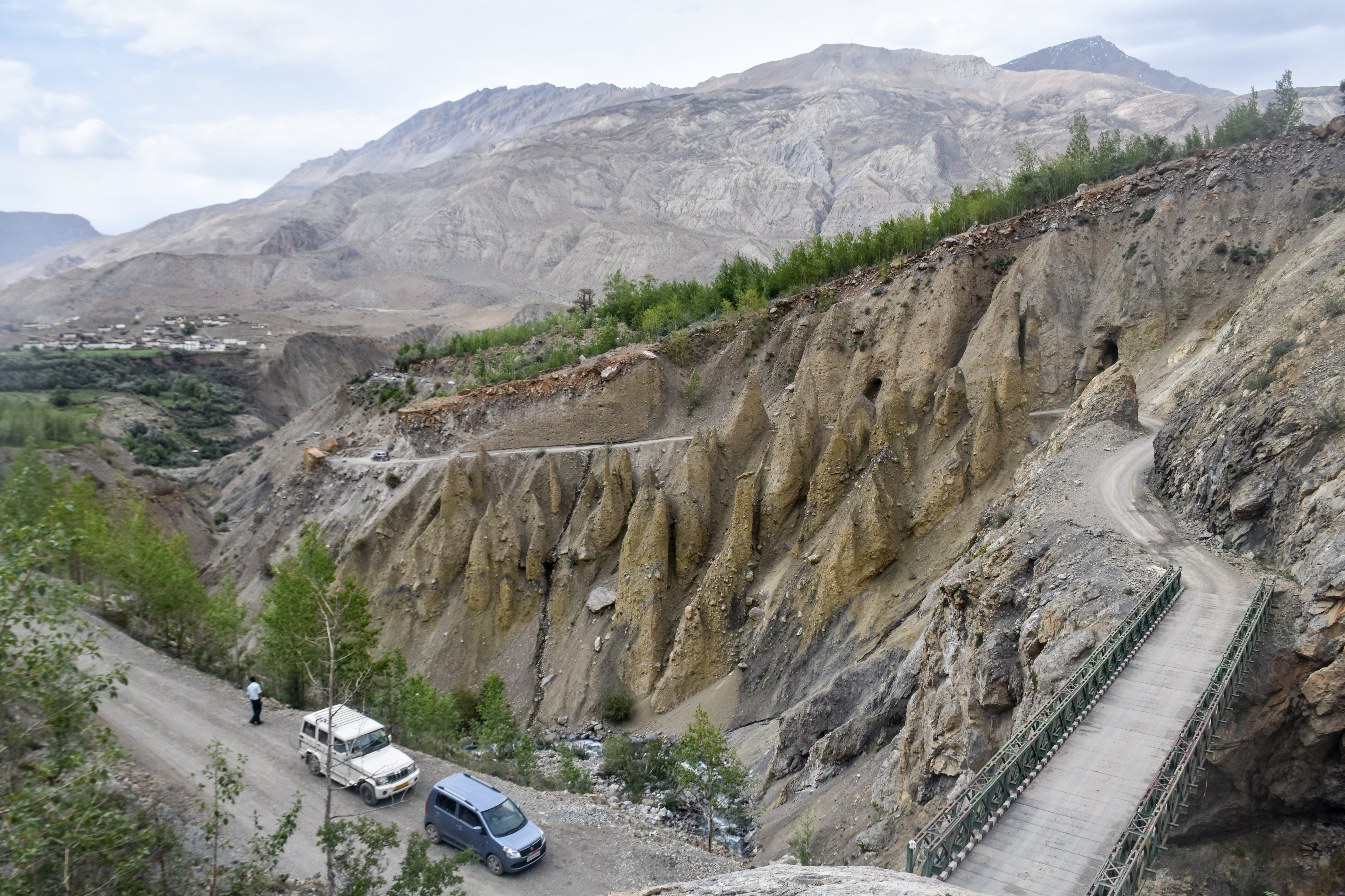 | 6,000 × 4,000 (13.23 MB) | smartcommons>Tagooty | Uploaded own work with UploadWizard |
File usage
There are no pages that use this file.
