.svg)
File:Ap-districts.png

Size of this preview: 220 × 183 pixels. Other resolutions: 289 × 240 pixels | 452 × 375 pixels | 2,487 × 2,066 pixels.
Original file (2,487 × 2,066 pixels, file size: 714 KB, MIME type: image/png)
| Description |
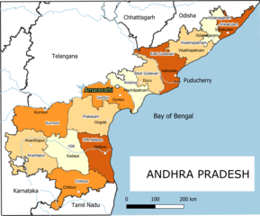
English: Old Andhra Pradesh Map
For more information please see: File:ఆంధ్రప్రదేశ్ జిల్లాల పటము.png |
| Date | |
| Source | Own work |
| Author | Arjunaraoc |
| Other versions | For the latest version see File:Ap-districts.svg |
; for older version see https://commons.wikimedia.org/w/index.php?title=File:Map_AP_dist_all_shaded.png&oldid=344558866 ,
Licensing
I, the copyright holder of this work, hereby publish it under the following license:
| This work contains information from OpenStreetMap, which is made available under the Open Database License (ODbL).
The ODbL does not require any particular license for maps produced from ODbL data. Prior to 1 August 2020, map tiles produced by the OpenStreetMap Foundation were licensed under the CC-BY-SA-2.0 license. Maps produced by other people may be subject to other licences. |
File history
Click on a date/time to view the file as it appeared at that time.
| Date/Time | Thumbnail | Dimensions | User | Comment | |
|---|---|---|---|---|---|
| current | 17:42, 25 December 2021 | | 2,487 × 2,066 (714 KB) | wikimediacommons>Arjunaraoc | Created new version with clean state boundaries using OSM and natural earth data |
File usage
The following 5 pages use this file: