
File:11-A 1961 track.png

Size of this preview: 220 × 136 pixels. Other resolutions: 320 × 198 pixels | 2,000 × 1,236 pixels.
Original file (2,000 × 1,236 pixels, file size: 2.86 MB, MIME type: image/png)
Summary
| Description11-A 1961 track.png |
English: Track map of Cyclone 11A of the 1961 North Indian Ocean cyclone season. The points show the location of the storm at 6-hour intervals. The colour represents the storm's maximum sustained wind speeds as classified in the Saffir-Simpson Hurricane Scale (see below), and the shape of the data points represent the nature of the storm, according to the legend below.
Storm type  Extratropical cyclone / Remnant low / Tropical disturbance / Monsoon depression Extratropical cyclone / Remnant low / Tropical disturbance / Monsoon depression |
| Date | |
| Source | Created using Wikipedia:WikiProject Tropical cyclones/Tracks. The background image is from NASA. Tracking data is from IBTrACS. |
| Author | Cyclonebiskit |


Licensing
| Public domainPublic domainfalsefalse |

|
I, the copyright holder of this work, release this work into the public domain. This applies worldwide. In some countries this may not be legally possible; if so: I grant anyone the right to use this work for any purpose, without any conditions, unless such conditions are required by law. |
Captions
Add a one-line explanation of what this file represents
File history
Click on a date/time to view the file as it appeared at that time.
| Date/Time | Thumbnail | Dimensions | User | Comment | |
|---|---|---|---|---|---|
| current | 23:45, 10 May 2013 | 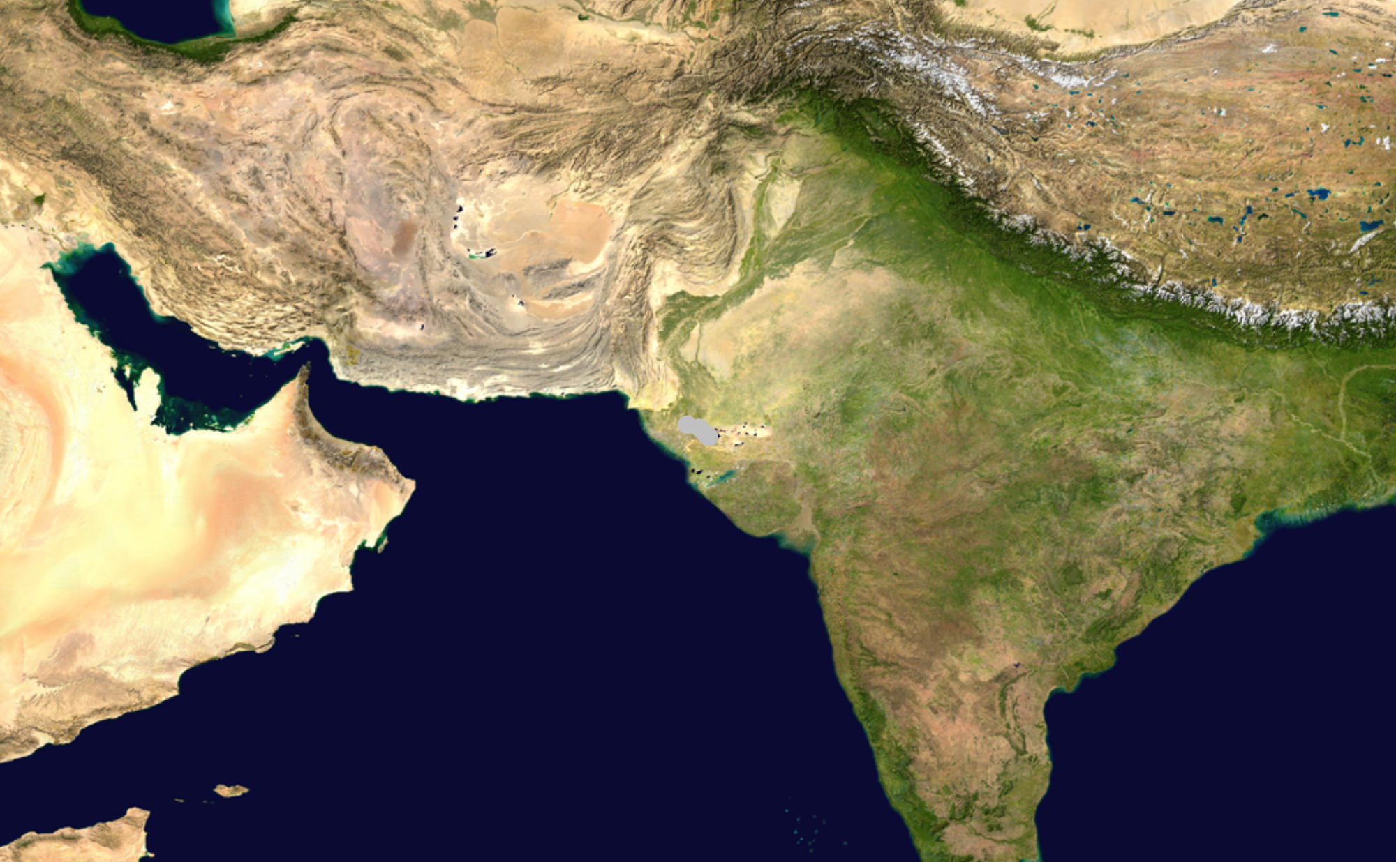 | 2,000 × 1,236 (2.86 MB) | smartcommons>Cyclonebiskit | =={{int:filedesc}}== {{Information |Description={{en|Track map of Cyclone 11A of the 1961 North Indian Ocean cyclone season. The points sho... |
File usage
The following page uses this file:
