
File:Map of Bengal.svg
Size of this PNG preview of this SVG file: 220 × 201 pixels. Other resolution: 263 × 240 pixels.
Original file (SVG file, nominally 1,835 × 1,676 pixels, file size: 1.32 MB)
Summary
| DescriptionMap of Bengal.svg |
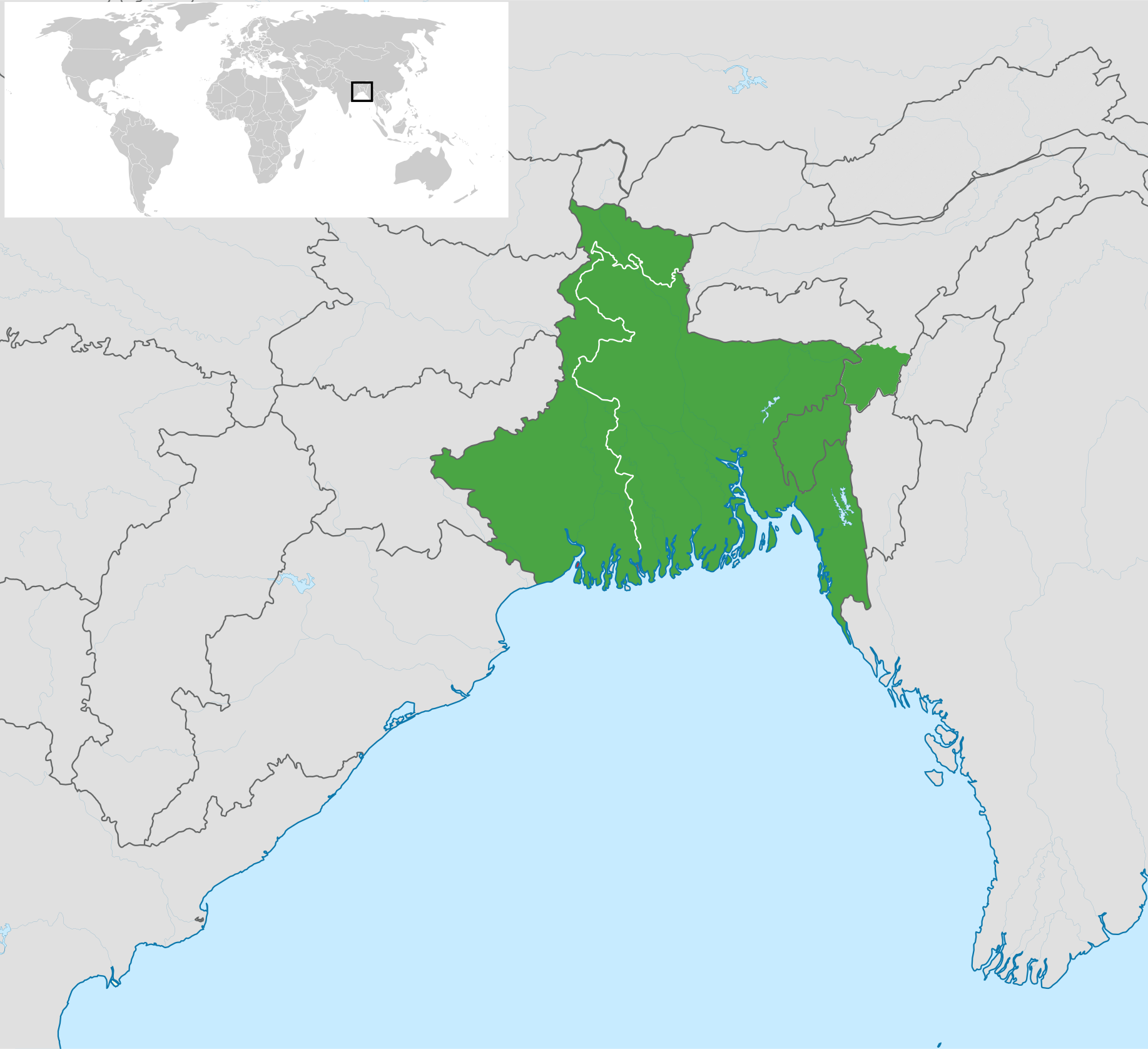
English: Map of Bengal. The region is today divided between Bangladesh (East Bengal) and West Bengal, India. Also showing the state of Tripura and the three districts of Cachar, Hailakandi and Karimganj; part of Barak Valley in Assam, India. Svenska: Karta av Bengal, delad mellan östra och västra. Staten Tripura och distrikten Hailakandi och Karimganj i södra Assam visas också. বাংলা: বাংলার মানচিত্র, পূর্ব ও পশ্চিমের মধ্যে বিভক্ত করা। মানচিত্রে চিহ্নিত রয়েছে বাংলাদেশের পূর্বে অবস্থিত বাংলাভাষী ভারতীয় রাজ্য ত্রিপুরা সহ আসাম রাজ্যের বরাক উপত্যকার তিনটি জেলা কাছাড়, হাইলাকান্দি এবং করিমগঞ্জ। |
| Date | |
| Source |
|
| Author | Goran tek-en |
| SVG development InfoField |

.svg)


Licensing


This file is licensed under the Creative Commons Attribution-Share Alike 4.0 International license.
Attribution:
Goran tek-en
- You are free:
- to share – to copy, distribute and transmit the work
- to remix – to adapt the work
- Under the following conditions:
- attribution – You must give appropriate credit, provide a link to the license, and indicate if changes were made. You may do so in any reasonable manner, but not in any way that suggests the licensor endorses you or your use.
- share alike – If you remix, transform, or build upon the material, you must distribute your contributions under the same or compatible license as the original.
Captions
Map of Bengal
File history
Click on a date/time to view the file as it appeared at that time.
| Date/Time | Thumbnail | Dimensions | User | Comment | |
|---|---|---|---|---|---|
| current | 00:53, 14 August 2025 |  | 1,835 × 1,676 (1.32 MB) | smartcommons>ফারদিন | Reverted to version as of 02:30, 26 February 2025 (UTC) |
