Following the mandate of the National Data Sharing and Accessibility Policy (NDSAP) of the Government of India that applies to all shareable non-sensitive data available either in digital or analog forms but generated using public funds by various agencies of the Government of India, all users are provided a worldwide, royalty-free, non-exclusive license to use, adapt, publish (either in original, or in adapted and/or derivative forms), translate, display, add value, and create derivative works (including products and services), for all lawful commercial and non-commercial purposes, and for the duration of existence of such rights over the data or information.
Information on Related Items:
The user must acknowledge the provider, source, and license of data by explicitly publishing the attribution statement, including the DOI (Digital Object Identifier), or the URL (Uniform Resource Locator), or the URI (Uniform Resource Identifier) of the data concerned.
The user must not indicate or suggest in any manner that the data provider(s) endorses their use and/or the user.
The data provider(s) are not liable for any errors or omissions, and will not under any circumstances be liable for any loss, injury or damage caused by its use.
The data provider(s) do not guarantee the continued supply of updated or up-to-date versions of the data, and will not be held liable in case the continued supply of updated data is not provided.
Exemptions: The license does not cover the following kinds of data: a. personal information; b. data that is non-shareable and/or sensitive; c. names, crests, logos and other official symbols of the data provider(s); d. data subject to other intellectual property rights, including patents, trade-marks and official marks; e. military insignia; f. identity documents; and g. any data that should not have been publicly disclosed for the grounds provided under section 8 of the Right to Information Act, 2005.
https://data.gov.in/sites/default/files/Gazette_Notification_OGDL.pdfGODL-IndiaGovernment Open Data License – Indiatrue
This image, which was originally posted in the source indicated above, has not yet been reviewed by an administrator or reviewer to confirm that the above license is valid. See Category:Unreviewed photos of GODL-India for further instructions.
Captions
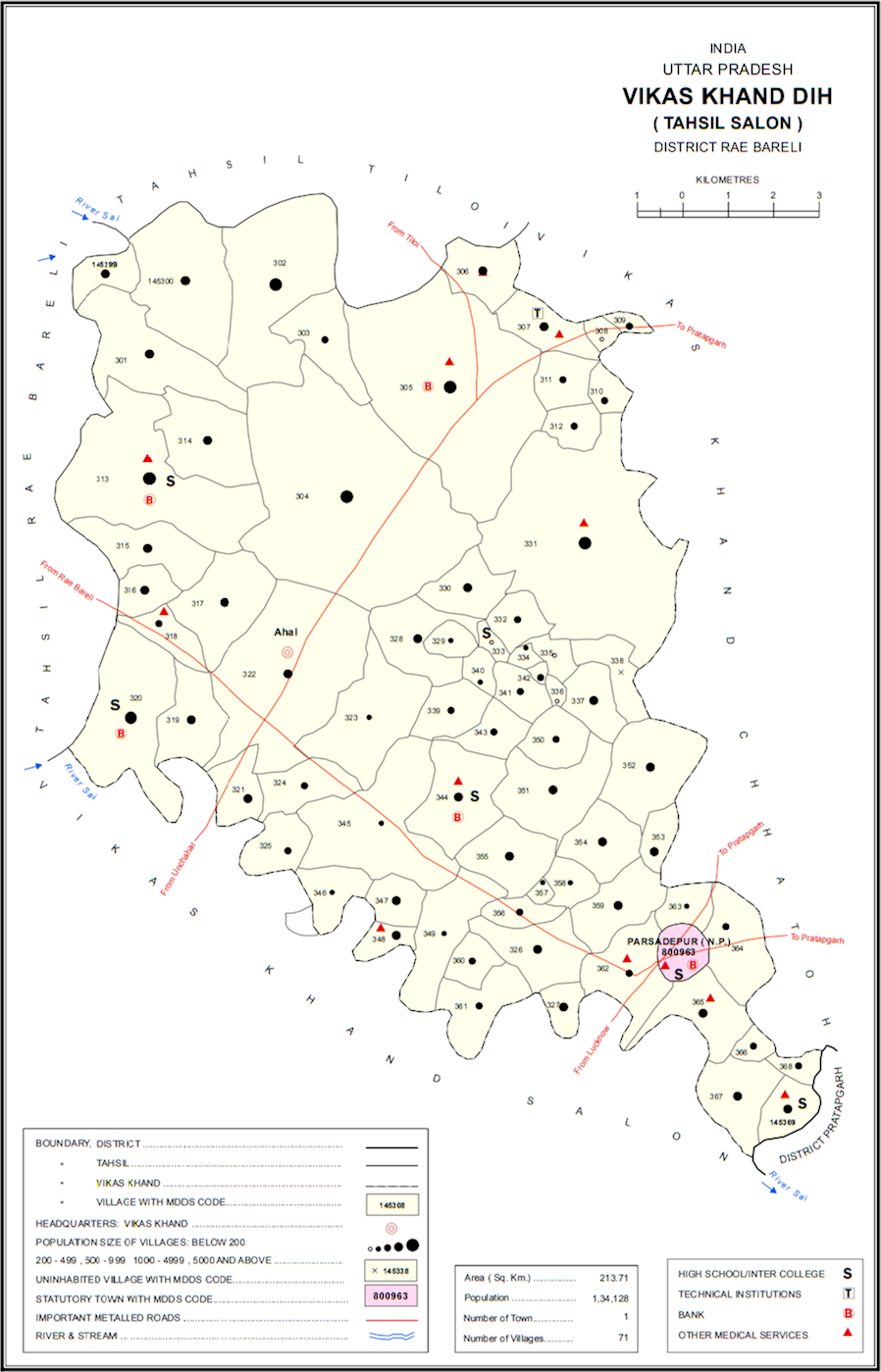
Map of Dih block in Rae Bareli district, Uttar Pradesh