




Paharganj | |
|---|---|
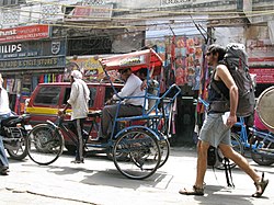
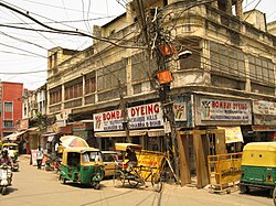
 Paharganj hotels and restaurants, across New Delhi Railway Station | |
  Paharganj Location in Delhi, India | |
| Coordinates: 28°38′42″N 77°12′47″E / 28.64500°N 77.21306°E | |
| Country |  India India |
| State | Delhi |
| District | Central Delhi |
| Government | |
| • Body | Municipal Corporation of Delhi |
| Languages | |
| • Official | Hindi, English |
| Time zone | UTC+5:30 (IST) |
| Lok Sabha constituency | New Delhi |
| Vidhan Sabha constituency | Paharganj |
| Civic agency | MCD |
Paharganj (literally 'hilly neighbourhood') is a neighbourhood of Central Delhi, located just west of the New Delhi Railway Station. Known as Shahganj or King's ganj or market place during Mughal era,[1] it is one of the three administrative subdivisions, of the Central Delhi district, of the National Capital Territory of Delhi, with the other two being, Darya Ganj and Karol Bagh.
- ↑ Cite error: Invalid
<ref>tag; no text was provided for refs namedcommons